

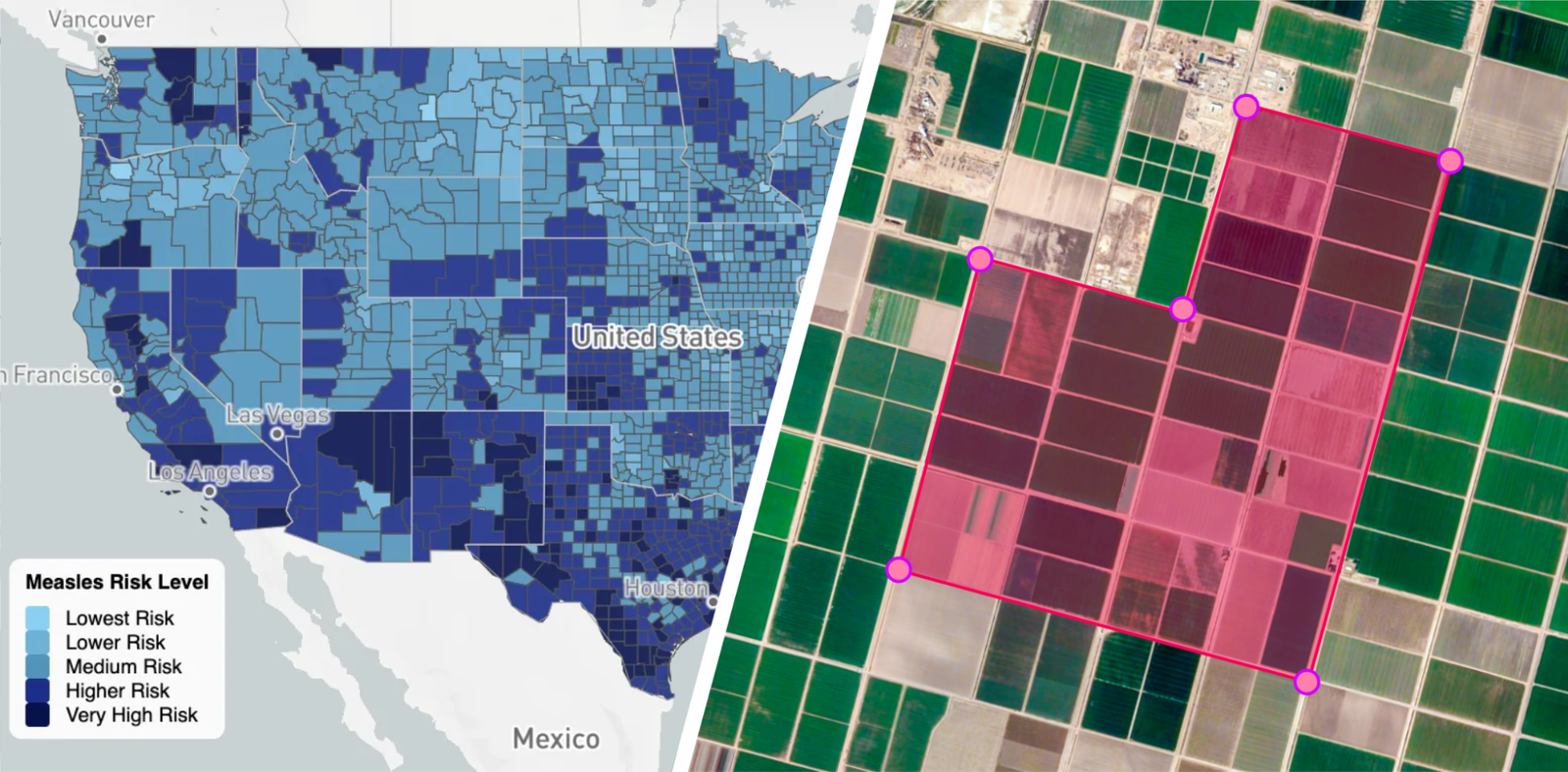
Last year we introduced new geospatial analytics capabilities integrated for BigQuery. Building on this, we announced an expanded suite of tools at Google Cloud Next ‘26, designed to help your business unlock deeper insights and make smarter, data-driven decisions. These Google Maps Platform models and datasets, leveraging innovation from Google Earth AI, are integrated with BigQuery and Gemini Enterprise Agent Platform. They help you transform geospatial information into actionable intelligence, empowering you to understand our planet and its communities like never before.
Harnessing AI for planetary understanding
In March we launched Street View Insights in general availability, which draws on Google Street View’s vast repository of over 280 billion images and turns them into actionable understanding of physical infrastructure. This enables customers in telecom, utilities and the public sector to reduce weeks of manual work to minutes and get insights right from their desks. In the coming weeks we’re bringing the experimental release of LiDAR data to Street View Insights, providing precise measurements of infrastructure. With this, you can accurately determine the height of utility poles, the clearance of overhead lines, or the specific dimensions of road signs without having to manually gather measurements from the field.
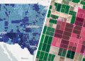
We’re also expanding our Imagery portfolio in the coming weeks to include the experimental release of Aerial and Satellite Insights, providing a multi-perspective view of infrastructure that includes aerial, satellite and Street View imagery. This will help organizations manage assets at scale and with context. You can now combine top-down aerial and satellite views for large-scale planning and regional assessments with the ground-level detail of Street View to verify specific asset conditions.
Finally, we’re taking geospatial analysis to new heights with our Aerial and Satellite Models, developed as part of Google Research’s Remote Sensing Foundation effort, and now available in experimental within Model Garden. Now you can license our stand-alone model to build custom applications on any high-resolution aerial or satellite imagery source. Read our blog to learn more about Street View Insights, Aerial and Satellite Insights, and Aerial and Satellite Models.


